Contact Information
Base Contact Information
Yakima Training Center Personnel Office: 509-577-3477, DSN: 638-3477
Billeting/Lodging/PCS Information: 509-577-3418, DSN: 638-3418
Geography and Area Information
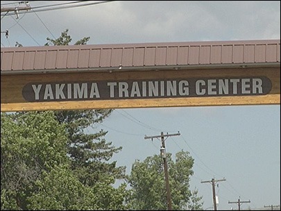
The Yakima Training Center (YTC) is a subsidiary of Joint Base Lewis-McChord in south central Washington State. Located at 46.7611° N, 120.1914° W, The Yakima Training Center is located due north of the city of Yakima and just south of the city of Ellensburg and flanked by Interstate 82 on the west and by the Columbia River to the east. The 327,000 acres (510.94sqmi) that make up the Yakima Training Center is mostly shrub-steppe, making the YTC one of Washington State’s largest remaining shrub-steppe habitats. The vegetation in the area is typical shrub-steppe consisting mainly of bunch grass, sagebrush and bitter brush. The terrain of the area is one of hills and valleys, dominated by three distinct parallel ridges running east to west, the Manastash Ridge, Umtanum Ridge anticlines and Saddle Mountains. These elevated areas are all part of the Yakima Fold Belt found near the western perimeter of the Columbia River Plateau.
History
In 1941 the US military negotiated the lease of 160,000 acres (250sqmi) for live fire anti-aircraft artillery training. Throughout World War II the Yakima Anti-Aircraft Artillery Range was used for training and developed from a temporary camp into a permanent military training area. The decision was made in 1951 to expand the training ground and the Army purchased 261,000 acres (407.81sqmi) for the creation the Yakima Firing Center which would later evolve into the present day Yakima Training Center.
Primary and Ancillary functions
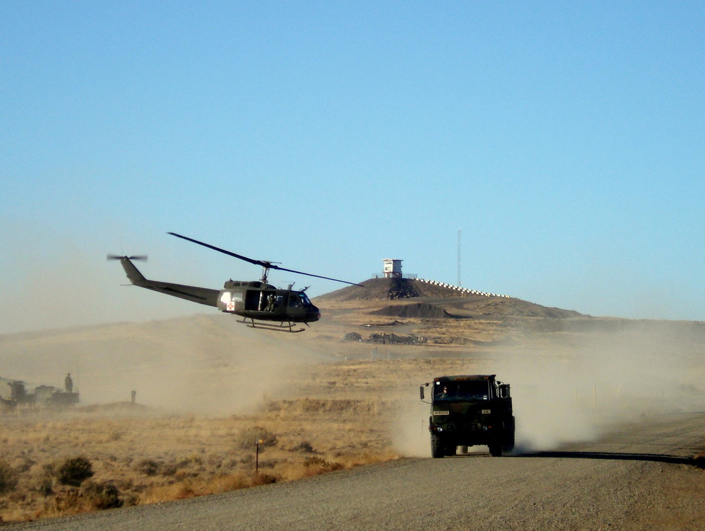
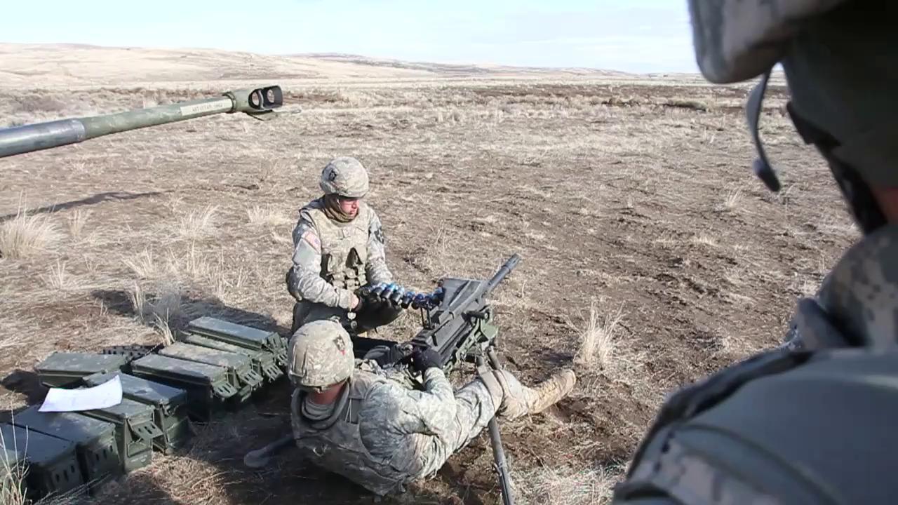
The primary mission the Yakima Training Center is to serve as the live fire training, maneuver and combined arms exercise facility for Fort Lewis and visiting units. In addition to infantry, artillery and armor live fire training the YTC is home to Vagabond Army Airfield and Selah Airstrip and provides an area for aircraft maneuvering and live fire training. In conjunction with its role as a training facility the Yakima Training Center has been tasked with a leading role in the global surveillance network operated by the National Security Agency (NSA) known as ECHELON. The signals intelligence (SIGINT) branch of the base is known as the Yakima Research Station and plays a vital role as an intercept station. The Yakima Research Station intercepts a large amount of communication intelligence passed between intelligence satellites and other international communications satellites.
In mid-2012 the congressman whose district the Yakima Research Station is located was notified by the NSA that the station would be shutting down permanently. In April of 2013 the closure was reported publicly and later confirmed by the Navy with an OPNAV notice of closure. All functions of the Yakima Research Station would be moved to a similar facility located in central Colorado. The Aerospace Data Facility within Aurora Colorado’s Buckley Air Force Base will be the new home of SIGINT operations that are performed at the Yakima Research Station.
Public Access
The Yakima Training Center is crossed by John Wayne Pioneer Trail which follows the now empty roadbed of the Chicago, Milwaukee, St. Paul and Pacific Railroad. The former railroad trail covers 300 miles across two thirds of Washington State spanning from the Cascade Mountains to the border of Idaho and is used as a non–motorized recreational trail. A 20 mile section of the roadbed going east from Kittitas to the Columbia River has been developed and is managed as part of Iron Horse State Park, crossing into the Yakima Training Center. In addition to hiking the base allows hunting and fishing on the training grounds when range control has taken them out of a “hot” (live fire) status. More information of public access, outdoor recreation, hunting and fishing can be found by contacting the MWR office of the base at 509-577-3208.